
The United States Geological Survey recorded a Magnitude 5.4 Earthquake at a depth of 28 km to the north of the town of Balakot in Khyber Pakhtunkhwa Province, Pakistan, slightly before 3.00 am local time on Friday 27 February 2015 (slightly before 10.00 pm on Thursday 26 February GMT). Earthquakes of this size are large enough to be dangerous, and this one is reported to have led to about twenty houses to collapse, with fifteen people sufficiently injured to require hospital treatment. The quake was felt across much of northern Pakistan.

The approximate location of the 27 February 2015 Khyber Pakhtunkhwa Province Earthquake. Google Maps.
Northern Pakistan lies on to the boundary between the Indian and Eurasian tectonic plates, which runs through northern Afghanistan, Pakistan and India. The Indian Plate is moving northward relative to the Eurasian Plate, causing folding and uplift along this boundary, which has led to the formation of the Hindu Kush Mountains of Afghanistan, the Himalayas and the other mountain ranges of Central Asia., and which makes the nations in this boundary zone prone to Earthquakes.
See also...

The United States Geological Survey recorded a Magnitude 5.8 Earthquake at a depth of 97.2 km in southern Badakshan Province, Afghanistan...
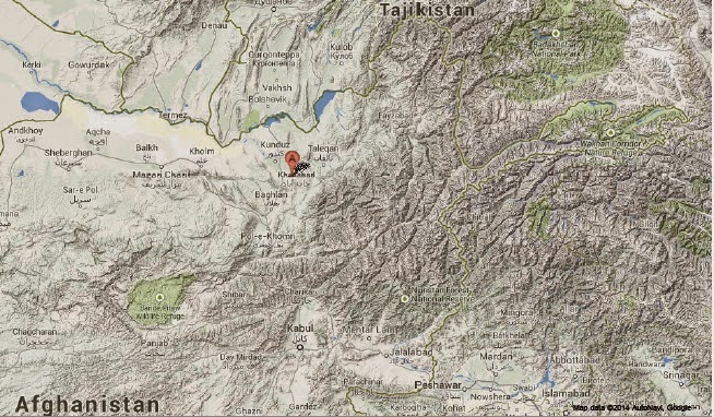
The United States Geological Survey recorded a Magnitude 4.0 Earthquake at a depth of 52.4 km in southeastern Kunduz Province, Afghanistan...

A report in the Times of India on 6 June 2014 has documented a possible volcanic eruption in the Kangra District of Himachal Pradesh State, India. The...
Follow Sciency Thoughts on Facebook.