
On Sunday 21 October 2012, at 10.00 am local time (11.00 pm on Saturday 20 October, GMT), the United States Geological Survey recorded a Magnitude 6.2 Earthquake 109 km west of the island of Sola, part of the Republic of Vanuatu, at a depth of 35.6 km. This is a large Earthquake, but deep and a long way from shore, so it is unlikely to have caused any damage or casualties, but Geoscience Australia estimate it could have been felt as far away as the Solomon Islands and New Caledonia.
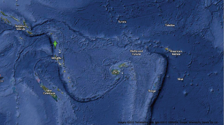
Map showing the location of the 21 October Earthquake. Google Maps.
Vanuatu is located on the southwestern fringe of the Pacific Plate, close to its boundary with the Australian Plate, which is being subducted along the New Hebrides Trench, to the west of the islands. The subducting Australian Plate passes under the islands of Vanuatu as it sinks into the Earth, causing Earthquakes as the plates stick together then break apart as the pressure builds up.
As the plate sinks further it is partially melted by the heat of the friction combined with that of the Earth's interior. Some of the melted material then rises through the overlying Pacific Plate, fueling the volcanoes of Vanuatu.
See also The biology of pumice rafts, Pumice raft linked to Havre Seamount, not Monowai, Pumice raft suggests eruption from Mount Monowai, Increased activity on Mount Yasur, Vanuatu and Earthquakes on Sciency Thoughts YouTube.
Follow Sciency Thoughts on Facebook.